Main storm shifting east with snow, tornadoes

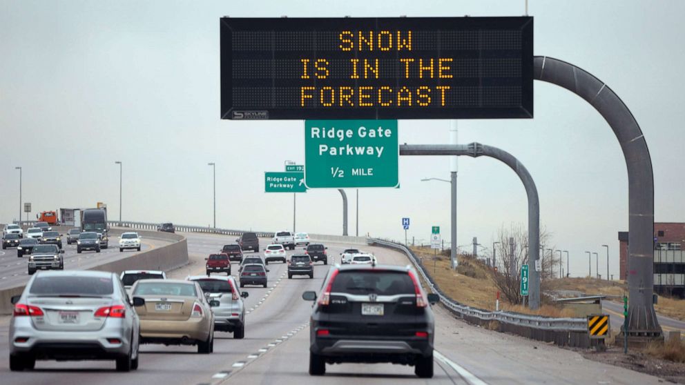
A severe storm will move from the Rockies to the east coast in the next two days, bringing heavy snowfall to the upper Midwest and severe thunderstorms to the east.
A winter storm warning has been issued in the upper Midwest and Great Lakes, where snow is expected to blow through South Dakota, Nebraska, Iowa, Minnesota and Wisconsin.
This will be the first major winter storm for Minneapolis-St. Paul region this season. There could be more than 1 foot of snow in the Twin Cities area.
From Texas to Indiana, strong tornadoes and harmful winds threaten on Friday evening.
The worst tornado threat is from 9:00 p.m. to 4:00 a.m. Tornadoes are particularly dangerous at night because local residents can miss alarms.
Memphis to Indianapolis could experience the worst of the storm.
Record temperatures are possible on the east coast on Saturday afternoon.
Temperatures will rise to 62 degrees in Boston, 66 in New York, 71 in Washington DC, and 74 in Charleston and Raleigh.
Strong thunderstorms can hit the Carolinas and the Northeast on Saturday night. There is a small chance of tornadoes in the mid-Atlantic.
Copyright © 2021 ABC News Internet Ventures.


