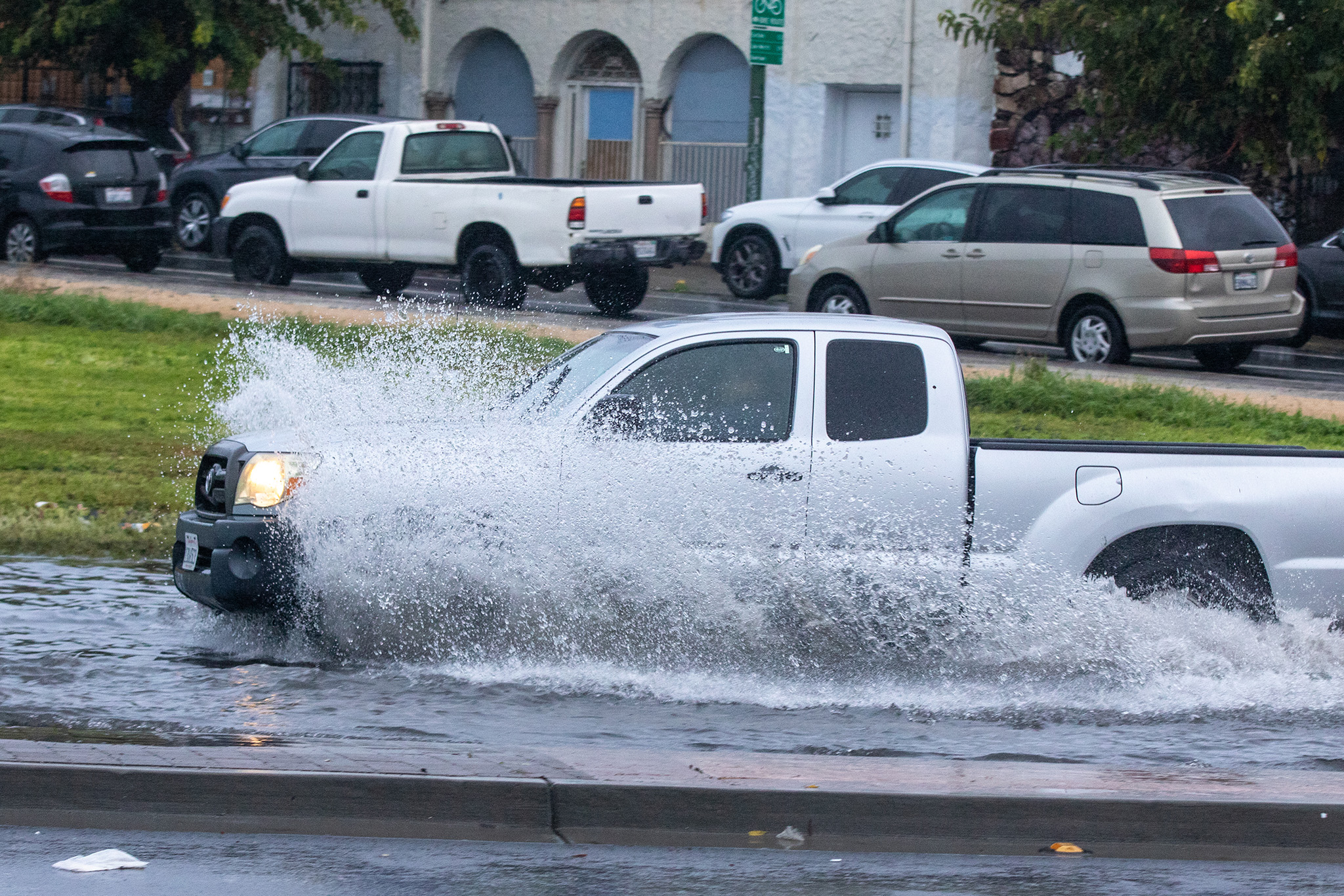
Rain in San Francisco Bay Space forecast for 8 days straight

It’s going to be a soggy holiday week with rain in the forecast for the next eight days straight through Christmas Day and potentially for several days beyond that and up until the end of the year, the National Weather Service said.
Between Monday and Dec. 26, the weather service is predicting 2 to 3 inches of rain in urban areas including San Francisco and Oakland and up to 5 inches of rain in the coastal mountain ranges of the North Bay. The Santa Cruz Mountains and the Santa Lucia Range in Big Sur could record over 6 inches of rain.
“We already had a wet December and we’re looking to continue this pattern, probably close to the end of the month,” said Brooke Bingaman, a forecaster with the weather service.
This is good news for the drought-ridden San Francisco Bay Area. The region along with all of California is facing low water supply after two, consecutive dry winters. This year the rainy season is getting off to a wet start and Brian Garcia with the weather service said that rainfall totals at most locations across the Bay Area since Oct. 1 are running at least 200% of normal for this time of year.
Light rain and drizzle are in the forecast Monday night as the first storm of the week approaches the region. The system is expected to first arrive in the North Bay Tuesday morning, and gradually push southward Tuesday afternoon but, Bingaman says, several waves of rain will continue into Tuesday night and Wednesday.
“That first significant rain comes in Tuesday,” she explained. “Right now there is a low-pressure system that’s sitting out over the Pacific Ocean. It’s centered due west of the Oregon-California border. A low-pressure storm system rotates counter clockwise, and the moisture associated with that storm is going to rotate into California. That’s how we get several waves, the moisture rotates around it.”
A second system traveling from western Canada is forecast to push into the region in the Wednesday-Thursday timeframe and will be absorbed by the first storm. Rain chances continue through the weekend.
“We’re in this trough pattern and it just keeps evolving and lingering all over the West Coast of North America,” Bingaman said.
Beyond the weekend, models are suggesting a possibility of rain through the end of the year though the chances are less than they are this week. It’s more challenging to predict the weather beyond seven days and the weather service will fine-tune the forecast for next week in coming days.
“The good thing for us is we’re getting this rain spread out for many days,” she said. “We’ll get good precipitation coming in gradually but consistently. That will help with the drought but because it’s spread over so much time that will lessen the risk of major flooding or major burn scar debris flows. We could still have some localized flooding or Land movement but because we’re not getting a fire hose of rain over a short amount of time, it’ll mitigate that risk.”


